
Our services.
Engineering, surveying, permitting, water resources and GIS, delivered by one team.
We pride ourselves on quality and reliability.
Every deliverable is written to meet your expectations as well as City, County, State and Federal specifications. From concept to construction, the strategies of 609 are aligned with our client's project budgets, timelines and long-term goals.
Civil Engineering
From concept to construction, our civil work is aligned with your budget, your timeline and the specifications the City, County, State or Federal reviewer is going to hold it to.
- Road engineering design
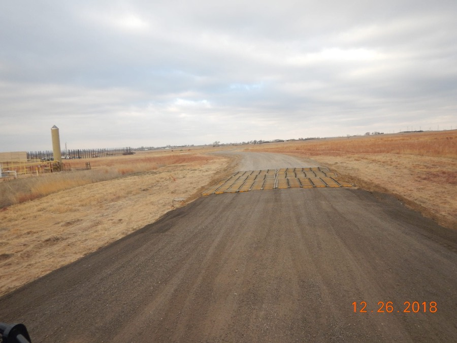
- Transportation planning of access roads
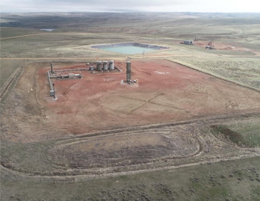
- Design and layout of well pads
- Preparation of construction drawings
- Grading, drainage and earthwork design
- Construction staking and oversight
Surveying
Multiple crews run out of our Wyoming and Colorado offices, which keeps mobilisation short and turnaround predictable even on remote locations.
- Preparation of well location plats
- Access and utility easements
- Commercial and residential surveying
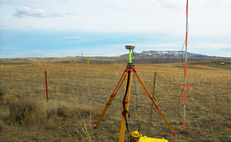
- Turn-key as-built field data collection
- Boundary and topographic survey
- Construction and control staking
Regulatory & Permitting
We manage the permitting file end to end so the schedule is driven by the project rather than by the review queue.
- Turn-key management of federal plans of development
- NPDES permitting
- SWPPP preparation and inspection
- Groundwater drilling permits
- Compliance and monitoring
- Reclamation planning and reporting
Water Resources
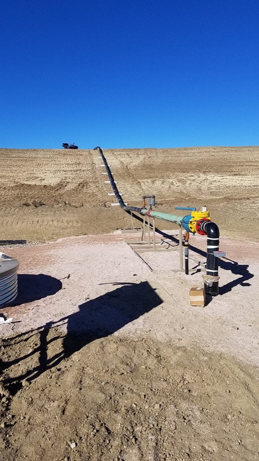
Water work spans the whole cycle, from watershed analysis and modelling through to the structures and storage that get built.
- Federal water management plans
- Hydrologic watershed analysis
- Evaluation of hydraulic structures
- Surface water modeling
- Reservoir design
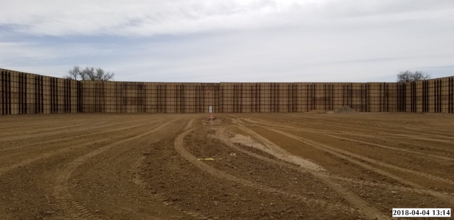
- Produced water storage and transfer
Geographic Information Systems
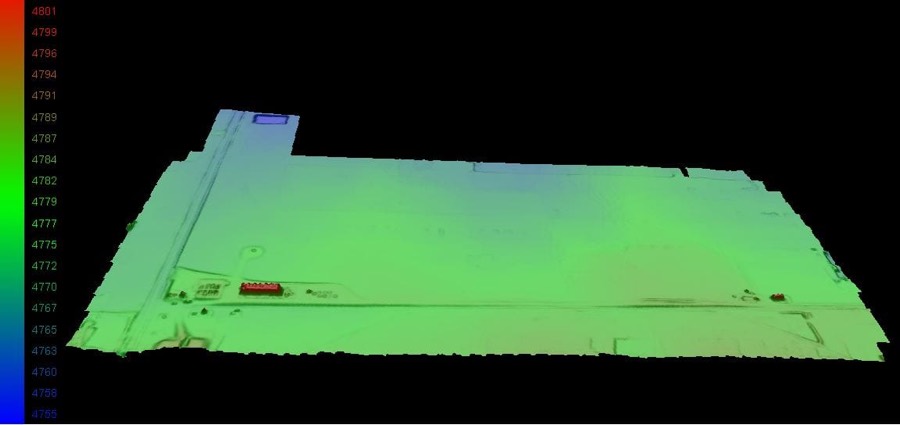
Our GIS department builds and maintains the spatial record behind major oil and gas programmes, and feeds mapping and visualisation back into every other discipline.
- ArcGIS mapping
- Geodatabase development for major oil and gas projects
- Data visualization for engineering projects
- Drone survey and surface modelling
- Asset and infrastructure mapping
- Operator data management
Which of these do you need?
Send over the scope and we will come back with the right discipline lead and a realistic schedule.